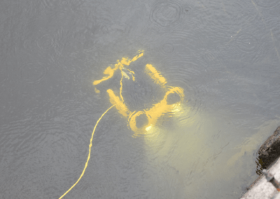
Aerial & Underwater Drone Inspection
Improve efficiency and decrease risks with our rapid, effective, precise, expert Drone Services.
Leverage our Aerial & Underwater Drone Expertise for your Project
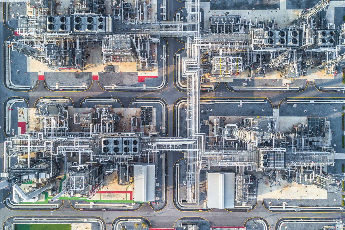
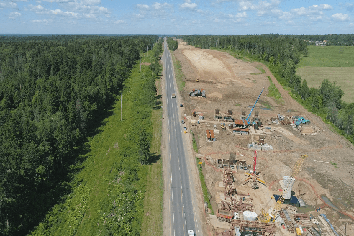
ORTAM is a leading Canadian company providing drone services to clients in Quebec and Ontario. We provide advanced aerial and underwater drone services to clients in virtually every industry. From construction and engineering to commercial real estate, to renewable energy, mining and oil and gas, to roads, infrastructure and utilities, and more. We are trained and certified by Transport Canada with significant experience piloting unmanned aerial vehicles (UAV).
Using one or more camera-equipped drones, we can perform fast, accurate, and extremely efficient inspections below and above ground, creating three-dimensional “geomaps” using topographic and orthomosaic imaging.
A safe & reliable solution for inspecting
hard-to-reach or hazardous areas
Drones are an excellent method to streamline processes, improve best practices, reduce expenses, and boost efficiency. Drone mapping technology can assist in keeping projects on budget and on schedule.
Reduce Risk & Liability
Drones remove the safety concerns, such as heights, inclines, and hard-to-access areas associated with having an on-site team completing inspections.
Reach Difficult Terrain
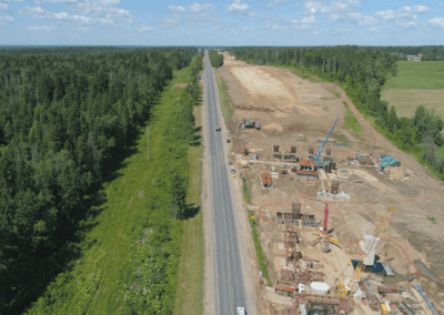
An aerial mapping drone can take off and fly anywhere. You are not restricted by inaccessible regions, dangerous slopes, or hard terrain. There is no need to close roadways or train tracks. Data can be collected during operation.
Save time & money
Capturing topographic data using a drone is up to 5x faster than traditional methods and requires fewer people in the field. Drone capabilities remove the inconvenience associated with having a live ground team inspect your site, reducing human error and cost. You generate your survey data faster and is more cost-effective.
Provide accurate, highly detailed data
A single drone flight generates thousands of measurements, which can be represented in several formats (orthomosaic, point cloud, DTM, DSM, contour lines, etc). Each pixel of the generated map or 3D model point comprises 3D geo-data.
DRONE SERVICES ARE PROVEN TO IMPROVE PRODUCTIVITY, EFFICIENCY AND COST
Drone Inspections for every Industry
Accurate inspections might be difficult to do and require expensive equipment such as cranes, helicopters, or specially designed sensors depending on your needs and the location of your industry.
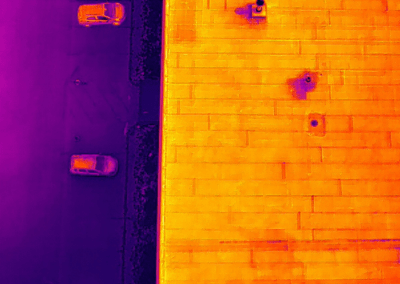
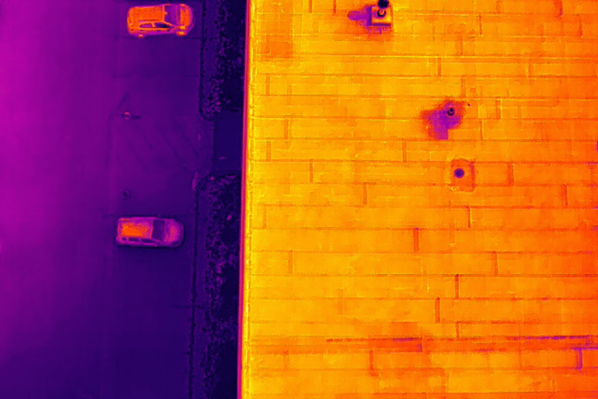
Using drones, inspections may be carried out right away thanks to the drone’s quick response time; all that is needed is a secure landing area and a careful drone operator. Drones can operate with a variety of hardware including video, aerial photos, thermal imaging and underwater.

Construction
Energy efficiency
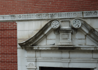
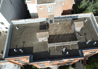
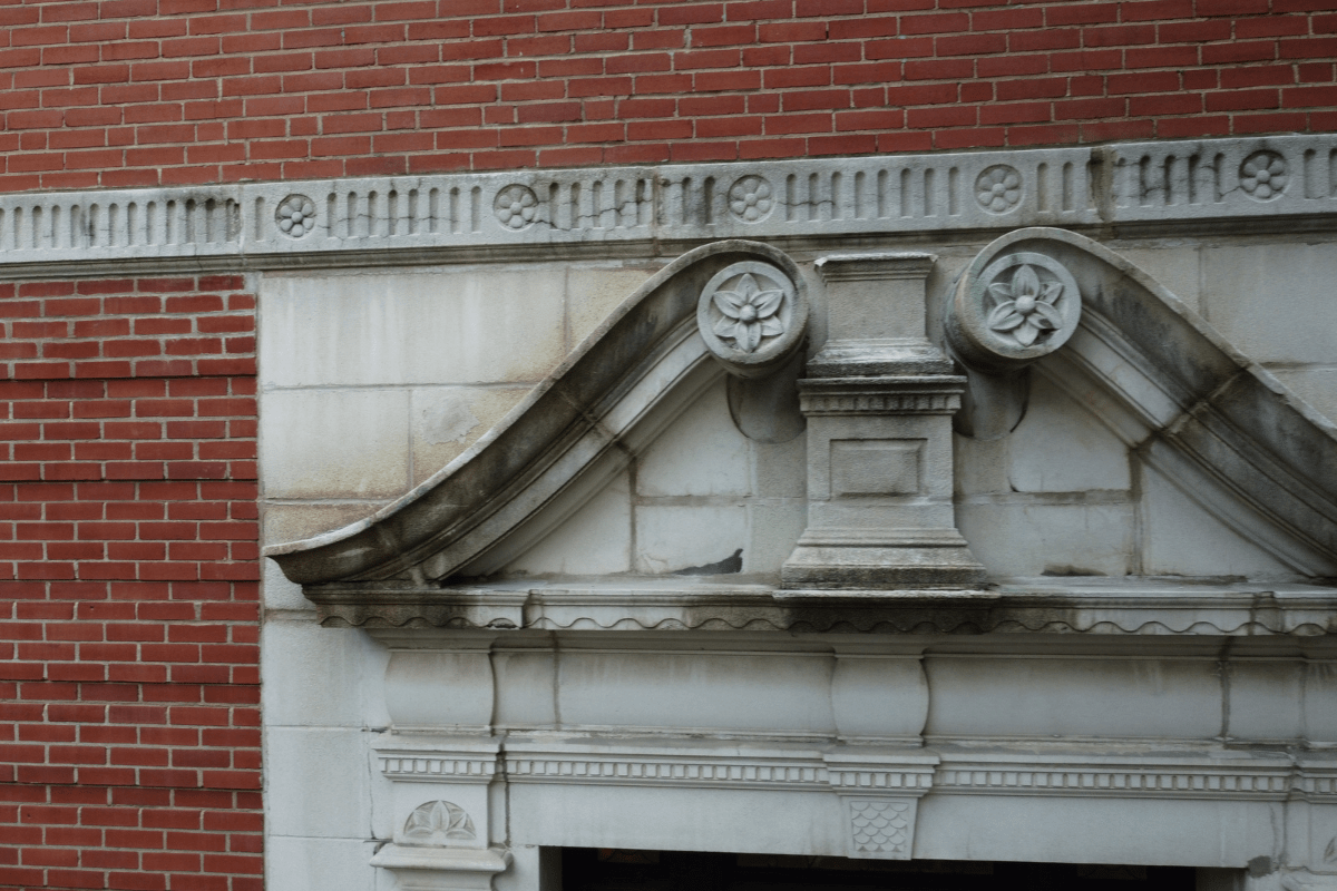
Crack detection
Building geometric inspection

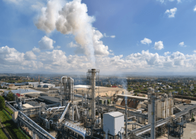
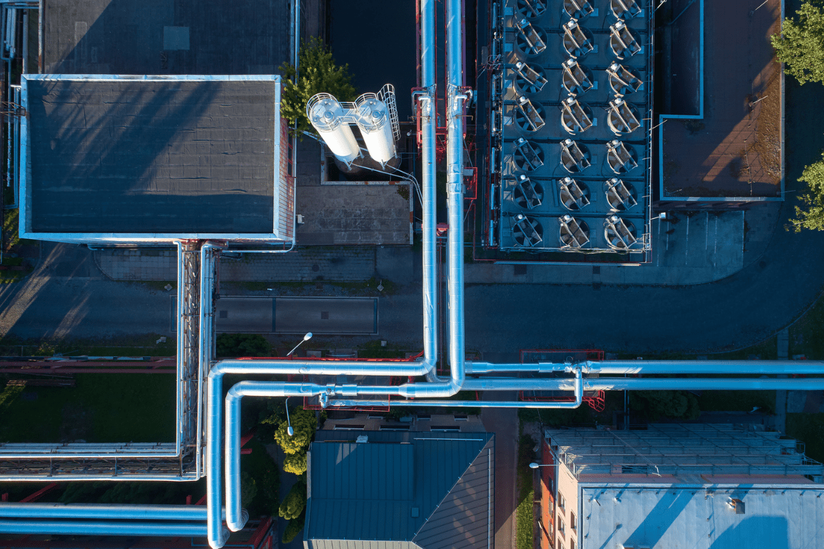
Oil and Gas
Water leak detection
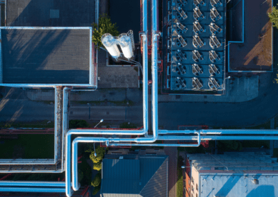
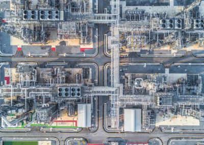
Inspection of buried pipes
Detection of thickness loss

Wind
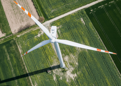
Crack detection
Surface damage of turbine blades

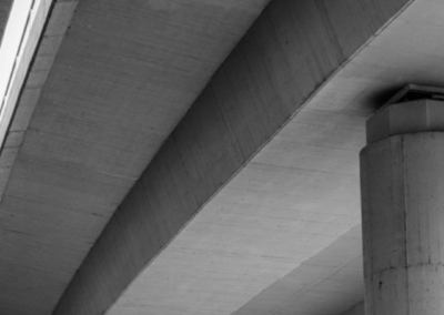
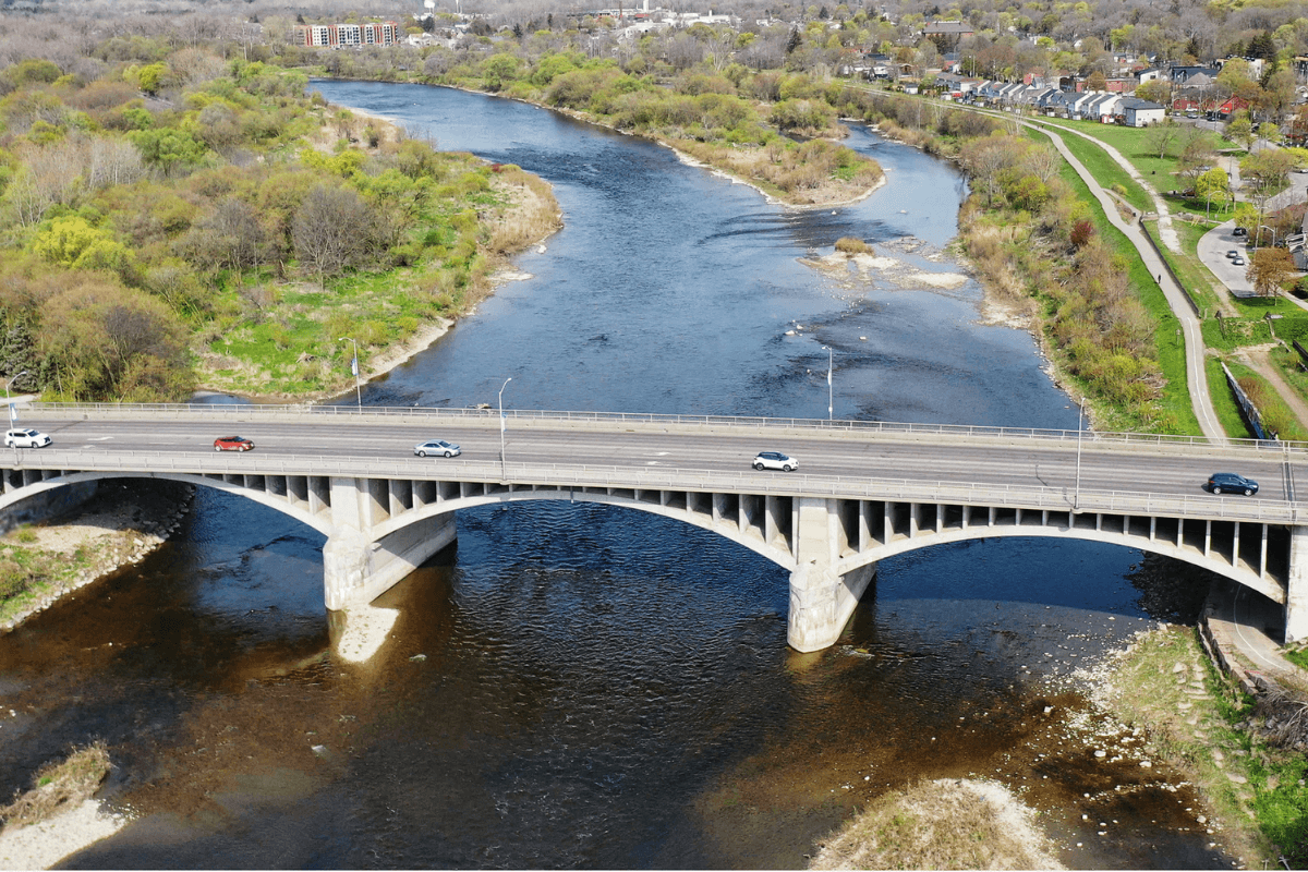
Road & Bridge Infrastructure
Sinkhole detection
Crack & stain detection
Stain detection
Degradation and deterioration
Surveying

Dams & Hydro Lines
Detection of polluted lines
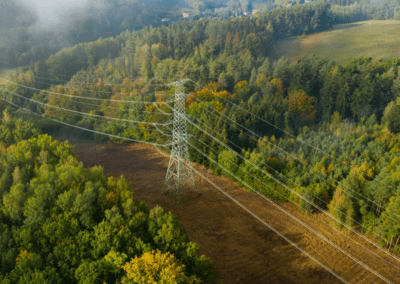
Detection & inspection of overhead power lines
Inspection of towers
Inspection & counting of poles
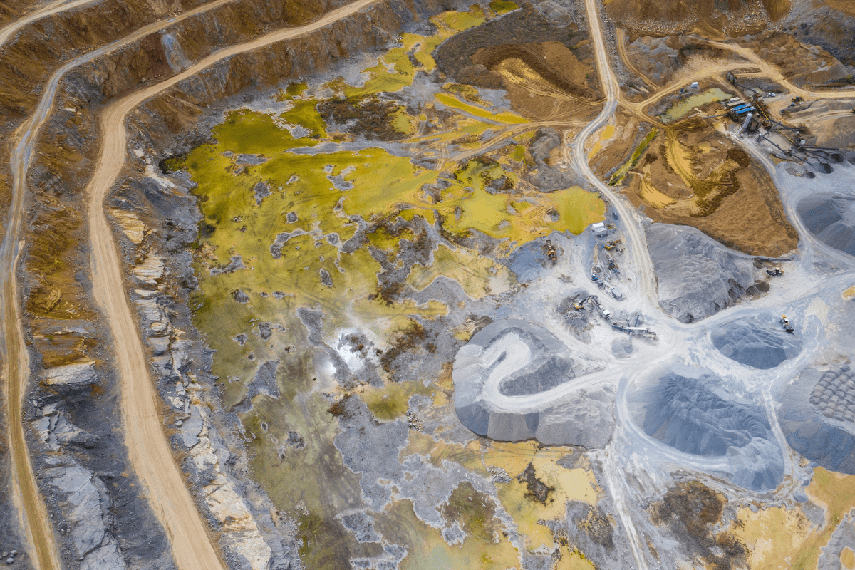
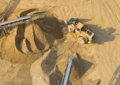
Mining & Quarries
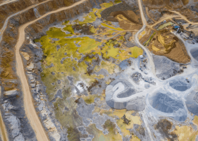
Drones can inventory stockpiles, evaluate cliff faces, model floods, map contours, and do full site surveys, among other tasks.
Drone Inspections in 3 Steps
ORTAM can provide one-time, monthly or scheduled inspections – Talk to us today!
1 - GATHER
We will gather all the necessary details about your project and provide you with a quote prior to beginning work.
2 - Inspect
We will complete the inspection by drone, and gather the required images, videos & measurements for your report.
3 - REPORT
We will pull together your report which will include a robust record of the condition of the structure and damage assessment using the data collected by the drone.
Let’s stay in touch
We will never spam you. We respect your privacy.

